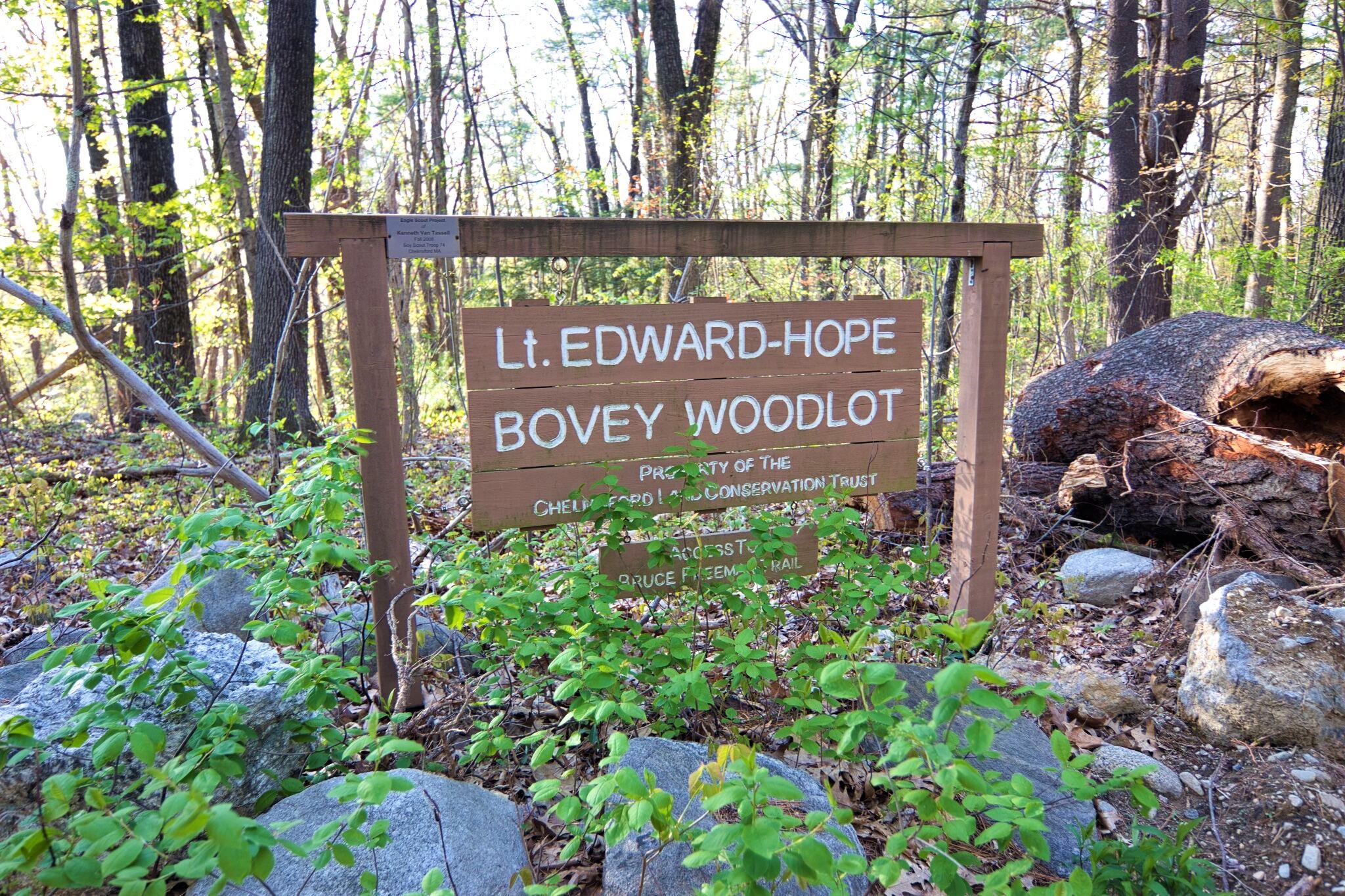
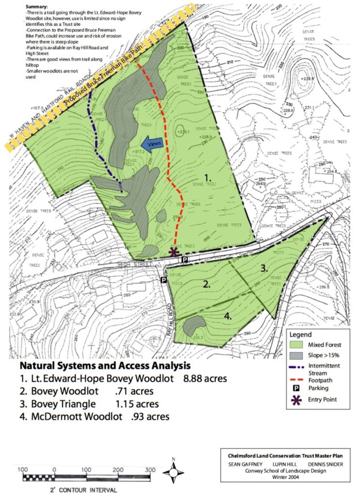
The Bovey Woodlots include Lt. Edward-Hope Bovey, McDermott, and Bovey Woodlots.
Lt. Edward Hope-Bovey Woodlot
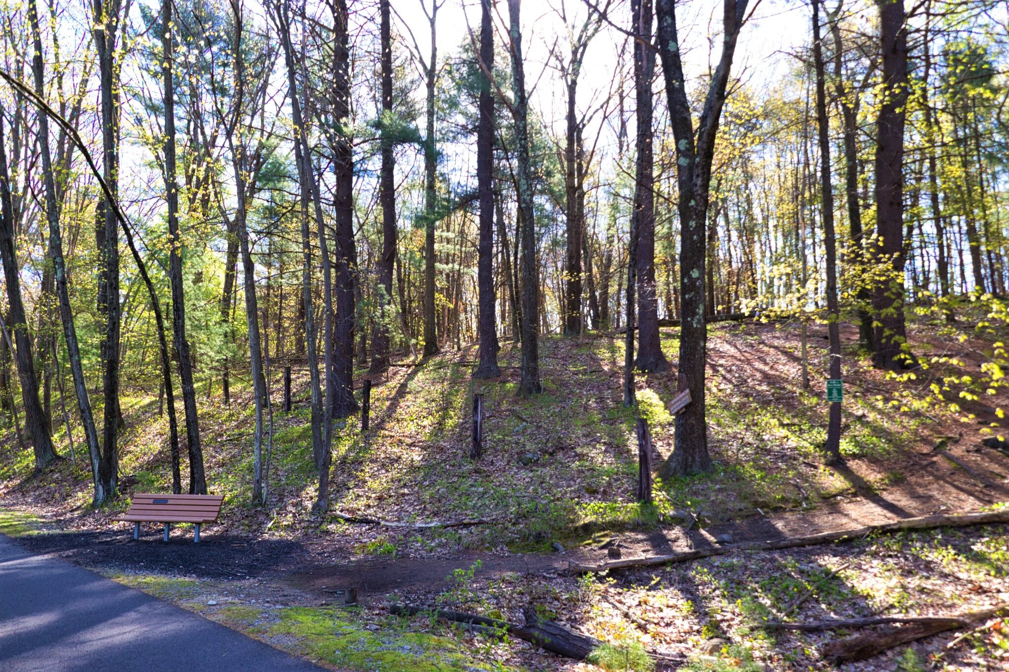
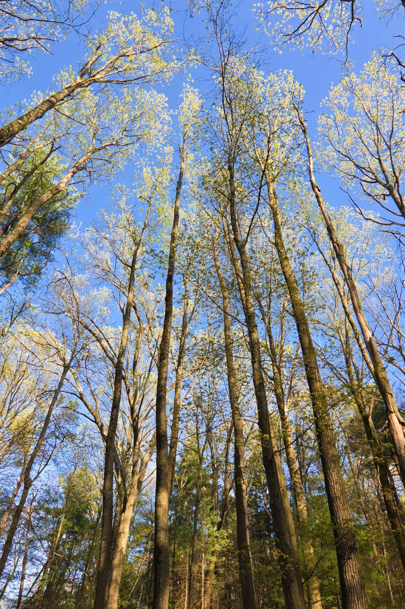
Approximately one mile west of downtown, in a low-density residential neighborhood, the Lt. Edward-Hope Bovey Memorial Woodlot is bounded on the north by the future bike path and on the south by High Street, a busy residential road often used as a short-cut to downtown. The woodlot is adjacent to open lands on the north and south, and large, wooded residential lots to the east and west.
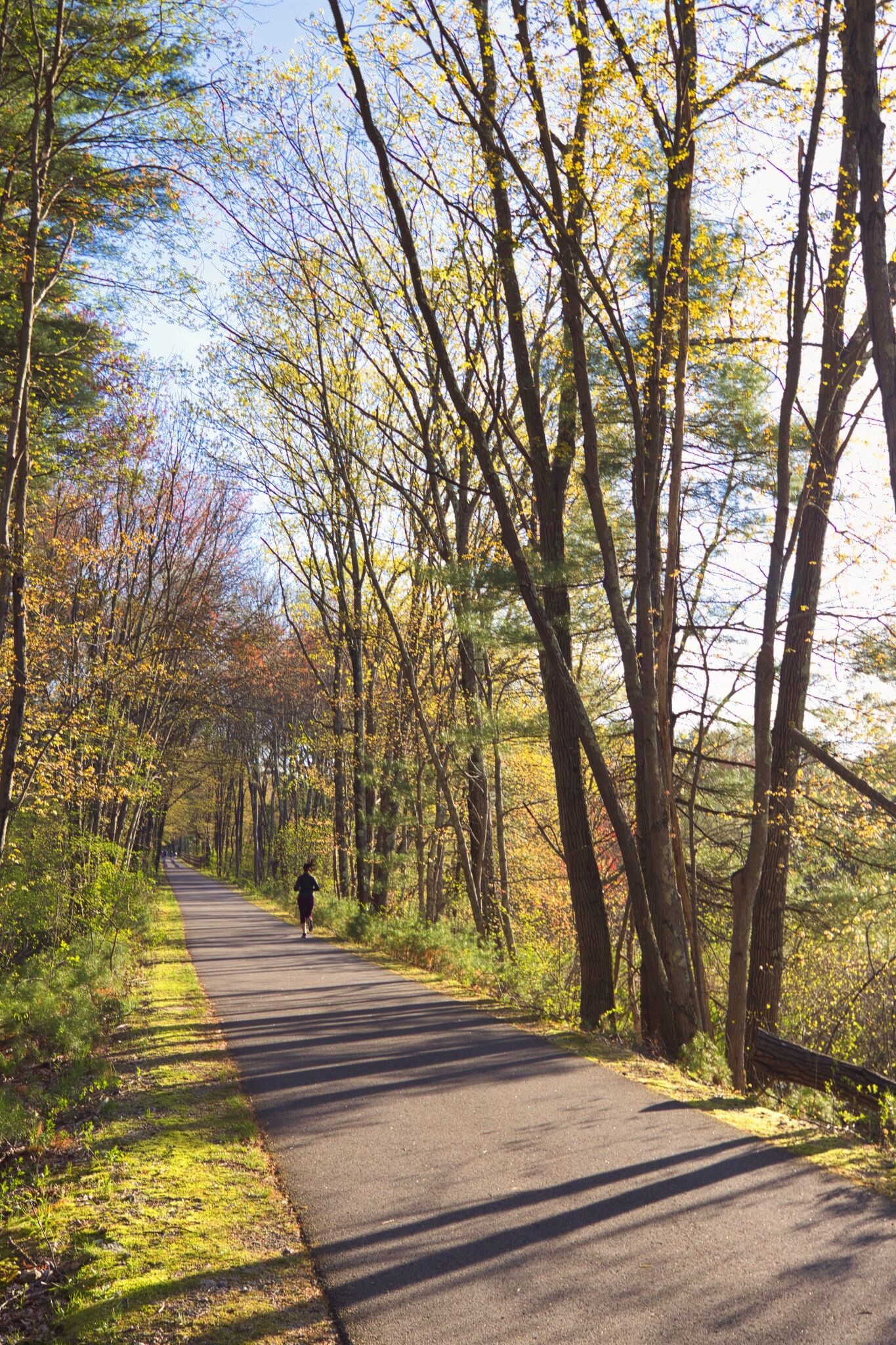
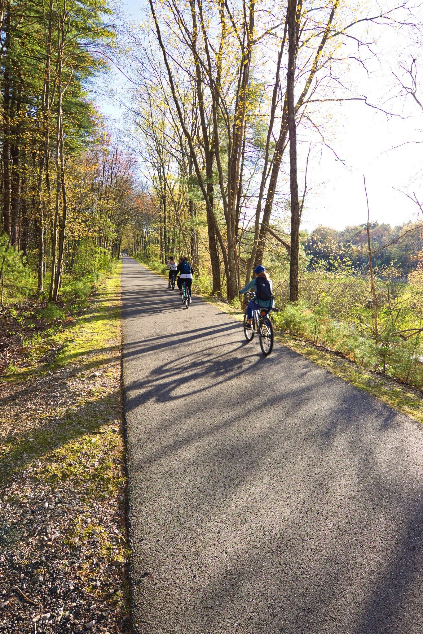
The future bike path separates the woodlot from a wetland property owned by the Conservation Commission, which contains Beaver Brook, before it runs north under Route 110 and into the west side of Lime Quarry Reservation. Beaver Brook then flows from the Lime Quarry Reservation south, again under Route 110, into the Miriam E. Warren Wetlands Preserve, and on through the downtown area, thus linking all of these open spaces otherwise fragmented by roads.
Bovey Woodlot
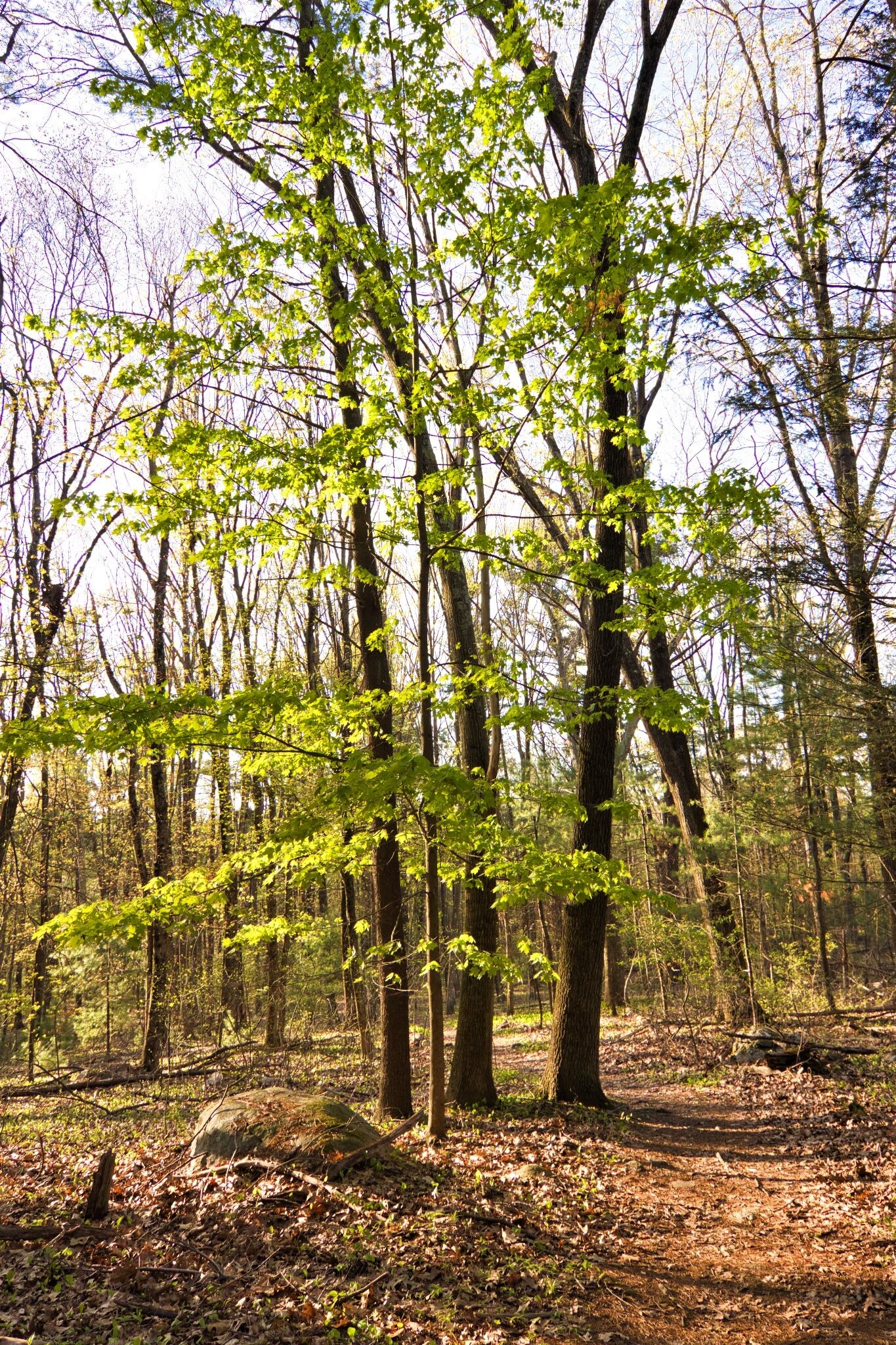
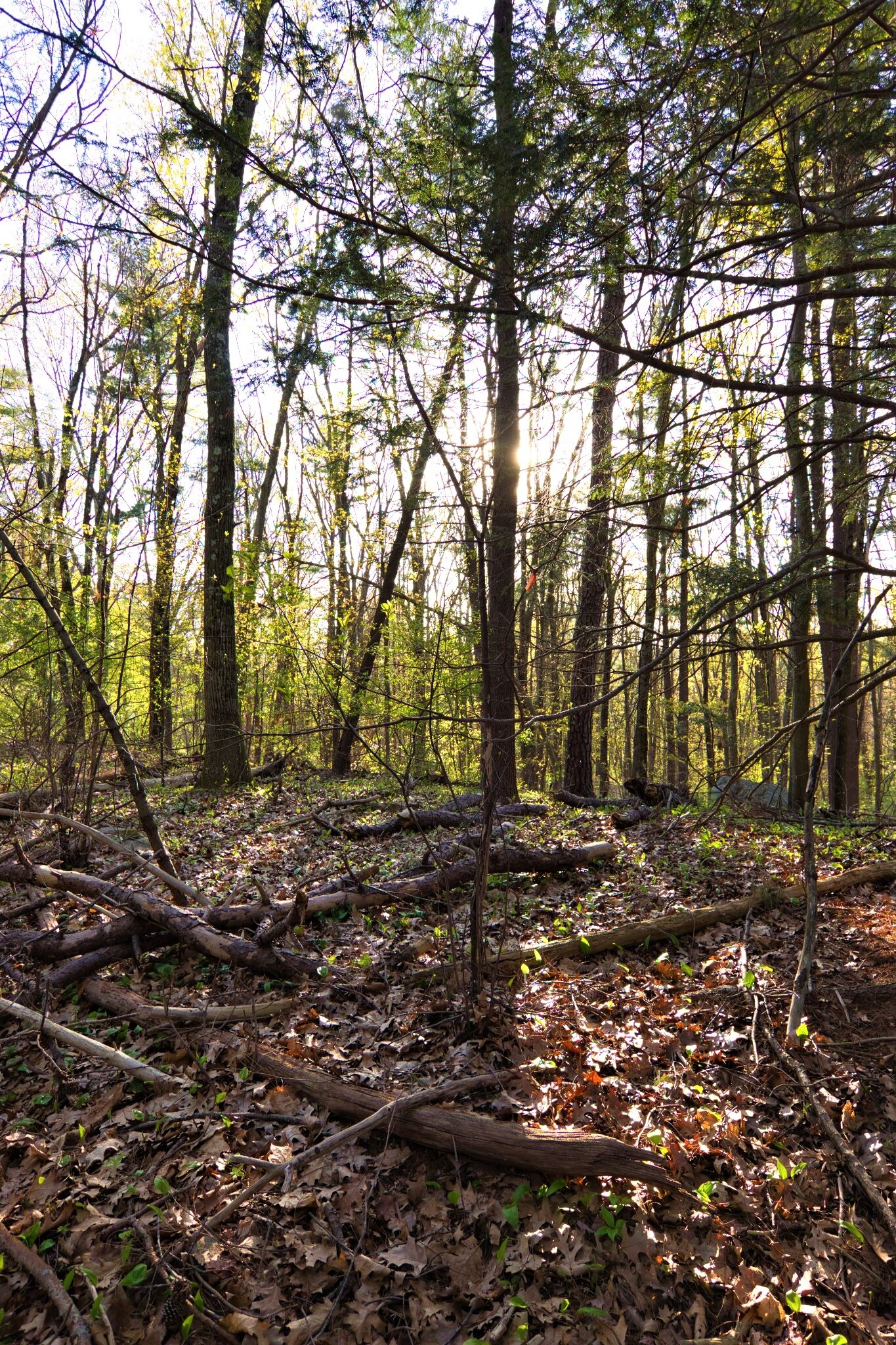
To the south of the Lt. Edward-Hope Bovey Woodlot, these two small Trust sites are wedged between Robin Hill Road on the east, High Street on the north, Ray Hill Road on the west and multi-acre residential properties on the south. These two properties, unused and unmanaged in any way, contain young, mixed woods and a forested connection between the large residential forested lots and the protected spaces along Beaver Brook.
McDermott Woodlot
To the south of the Lt. Edward-Hope Bovey Woodlot and adjacent to Bovey Triangle, this small Trust site is wedged between Robin Hill Road on the east, High Street on the north, Ray Hill Road on the west and multi-acre residential properties on the south. This property, unused and unmanaged in any way, contains young, mixed woods and a forested connection between the large residential forested lots and the protected spaces along Beaver Brook.
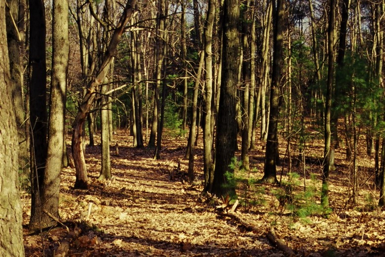
Visit Bovey Woodlots to enjoy walking paths with a connection to the Bruce Freeman Trail.